A suburb name is not a planning pathway. The correct starting point is the actual property record, current controls and proposed work. These Pymble-specific checks help prevent a construction brief from being built around assumptions that later change.
Heritage map and conservation area
Ku-ring-gai Council lists multiple heritage conservation areas in Pymble, including Athol, Fernwalk, Mona Vale Road, Orinoco Street, Park Estate, Pymble Avenue, Pymble Heights and Telegraph Road. Confirm the current mapped status of the exact site; do not apply a suburb-wide heritage label.
Check Council heritage conservation areas
Local-centre and public-domain interface
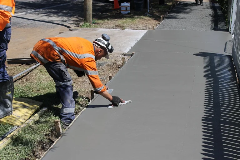
Council publishes Pymble-specific local-centre and Public Domain Plan material. Where work interfaces with a centre frontage or public land, review the applicable pedestrian, paving, stormwater, street-tree, lighting and streetscape requirements.
Review the current Public Domain Plan
Current DCP position
Ku-ring-gai Council records amendments to its Development Control Plan, including recent housing-reform alignment and tree-preservation clarification. Use the controls effective for the proposal and decision date rather than a saved or historical copy.
Check current DCP notifications
Site evidence and physical constraints
Confirm survey information, levels, drainage route, services, existing structures, vegetation, access, neighbouring interfaces and occupation. Specialist inputs are commissioned only where the actual site and scope require them.