Watsons Bay Heritage-Area Site Logistics and Building Works Planning NSW
SCE Corp delivers building, renovation and remedial works in Watsons Bay, bringing engineering, design, procurement and construction capability to constrained sites. We plan delivery around the applicable precinct controls, authorised work area, resident and public access, weather exposure and the condition in which the site must be left each day.
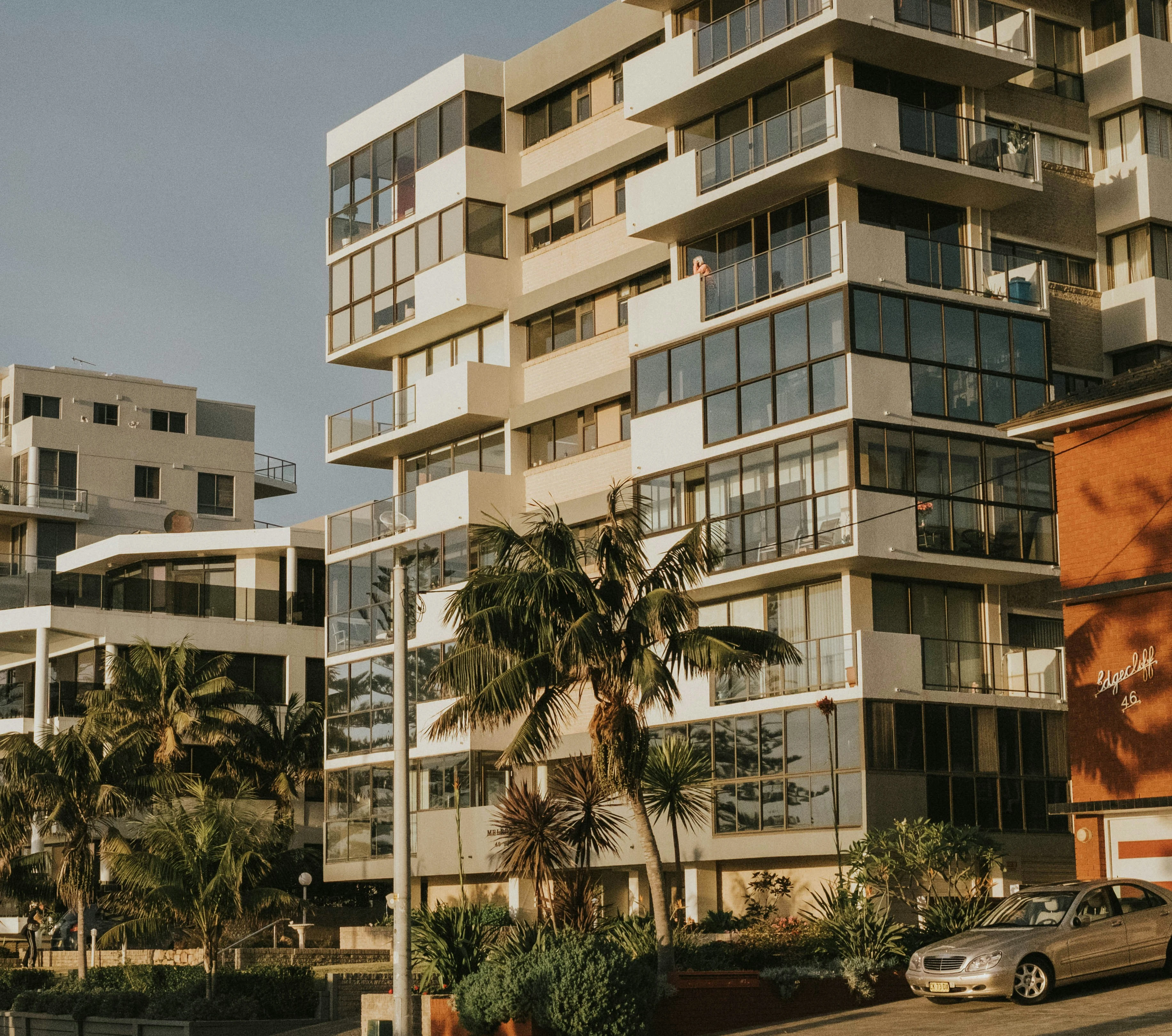
Eastern Suburbs building context. This regional image is not presented as a Watsons Bay project record.
Turn precinct and site-edge controls into a mobilisation map
Woollahra Council publishes a current dedicated chapter for the Watsons Bay Heritage Conservation Area. It includes precinct material and general provisions addressing topography and vegetation, townscape, the waterfront, views and vistas, built form, landscaping, fences and walls, parking and access, site facilities and privacy.
The construction team still needs an address-specific answer to a different question: how can people, vehicles, materials, equipment and waste move through each stage without exceeding the authorised work area or undermining the approved outcome? The map should show property boundaries, approved temporary occupations, access widths, turning and unloading positions, occupied entries, public routes, vulnerable surfaces, storage limits and emergency clearance.
Where precinct and general controls differ, Council’s current chapter says the precinct controls take precedence. Put the applicable requirements and consent conditions on the mobilisation drawing instead of leaving them in a separate report. The Eastern Suburbs Service Hub provides wider service and project context.
Use four coordinated maps for a small-footprint worksite
Each map answers a different site-control question. Together they expose conflicts before a delivery vehicle, scaffold component or demolition load reaches the address.
Boundary map
Ownership, permission and temporary occupation
Mark the legal work area, neighbour interfaces, easements, shared access and any land controlled by Council or another authority. Attach the approval, agreement or condition that authorises each temporary use.
Unconfirmed space stays unavailable in the programme.
Movement map
Booked vehicle and material route
Nominate vehicle type, approach, waiting rule, unloading point, spotters, lifting method, internal transfer path and return movement. Check whether the planned load can be broken into smaller timed packages.
Show occupied entries, pedestrian paths, business or service access, exclusion lines, overhead exposure, temporary wayfinding and the route available during an emergency. Change the work zone when the protected route changes.
Public movement cannot be treated as a note at the end of the method.
Turnover map
Storage, waste and daily reset
Set maximum quantities for materials, tools, waste and temporary covers. Define the removal booking, cleaning standard, security check and weather-safe condition required before the crew leaves.
Walk through one representative workday minute by minute. Start with the first vehicle arrival and include gate or entry control, unloading, material transfer, occupied access, the active work face, waste return, weather changes, noise-sensitive periods, emergency interruption and end-of-day handback.
The rehearsal should use the actual vehicle dimensions, package sizes, equipment, crew numbers and task duration. If the site cannot safely absorb a full delivery, change procurement into smaller booked lots rather than relying on informal roadside staging.
Test what happens when the day does not follow the programme. A delayed vehicle, stronger wind, rain, a blocked route or an unexpected building condition needs a pre-agreed response that protects the building and keeps authorised routes usable.
Site-rights boundary: a location beside a street, reserve or waterfront does not create a right to occupy it. Confirm ownership, consent conditions and required authority approvals before relying on external land in a price or programme.
Manage each stage through release, work and reset
A repeatable daily routine keeps the site plan current when the work face, public route or weather condition changes.
Release the day’s envelope
Confirm the approved work zone, temporary occupation, crew, task, weather, protection, isolations and inspections. Do not release more area than the shift can control and close.
Receive the booked load
Verify the vehicle and package against the movement map. Place spotters and barriers before arrival, complete the transfer and clear the unloading point within the agreed window.
Protect before production
Install surface, edge, dust, noise, weather and occupied-area protection. Record any scaffold tie, fixing, cover or loading interface that affects retained building fabric.
Hold at changed conditions
Stop when dimensions, substrate, services, deterioration or an approved interface differ from the work pack. Photograph and measure the condition and obtain the authorised direction before continuing.
Close the work face
Complete required inspections, temporary weathering, edge protection and security. Remove surplus materials and waste so access and emergency routes return to the nominated condition.
Update tomorrow’s map
Record completed areas, remaining quantities, changed routes, new hazards, booked deliveries and reviewer attendance. Issue the next release only after the updated map is accepted.
Role clarity: SCE is a DBP-registered building practitioner with qualified building, civil and construction engineering capability. We provide engineering, design, procurement and construction services through the appointed team, including relevant specialist disciplines. Statutory approval, independent certification and regulated declarations remain with the appropriately appointed authorities and practitioners.
Relevant Eastern Suburbs project evidence
Completed work is identified by its verified project location and is not relabelled as Watsons Bay experience.
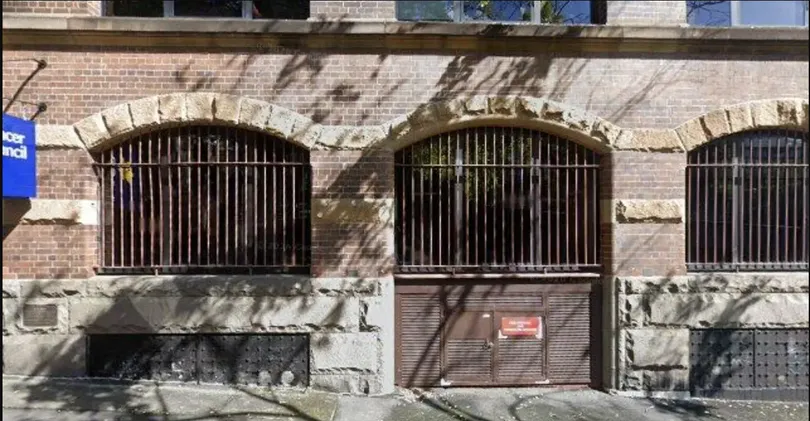
Verified SCE project evidence from Woolloomooloo; this is not a Watsons Bay project image.
Project record
Regional proof for connected moisture paths
SCE’s completed Woolloomooloo project records drainage investigation, penetrations and waterproofing work. It supplies relevant Eastern Suburbs evidence for work-face investigation and staged reinstatement while remaining clearly identified outside Watsons Bay.
Provide the exact address, current approval and precinct documents, scope drawings, affected work face, occupation needs, access dimensions, delivery and waste constraints, any known public or shared interface, photographs, reports, required equipment, material quantities, forecast-sensitive tasks and the required completion outcome.
Identify the site boundary, assumed temporary occupations, vehicle type, unloading point, transfer route, maximum laydown, emergency path, working hours, first inspection and daily handback standard. SCE will assess the construction method, design inputs and procurement sequence needed to turn these constraints into a deliverable scope and programme.
Watsons Bay site-logistics FAQs
Why does a Watsons Bay building scope need an address-specific logistics plan?
The usable work area, vehicle route, public interface, occupation, precinct controls and required permits vary by address and stage. A suburb description cannot establish where vehicles, materials, waste or temporary protection may go.
What should be tested in a mobilisation rehearsal?
Test the booked vehicle, approach and unloading point, spotter positions, pedestrian and resident route, material transfer, lifting or scaffold interface, emergency access, waste return and end-of-day reset using the actual site constraints.
Can a public verge, reserve or waterfront area be used for storage?
Do not assume so. Confirm ownership, access rights, consent conditions and any Council or other authority approval before occupying land outside the authorised site boundary.
How should changing weather affect daily releases?
The daily release should check the forecast, wind, rain exposure, temporary covers, unsecured materials, lifting conditions and the ability to leave the building weather-safe if the planned task cannot finish.
Who decides heritage, design and approval requirements?
SCE provides engineering, design, procurement and construction services through the appointed project team. Heritage requirements must be incorporated into the design and work method; statutory approvals, independent certification and regulated declarations remain with the relevant authorities and appropriately appointed practitioners. The appointment schedule should identify these responsibilities before mobilisation.
Does the featured project prove SCE completed work in Watsons Bay?
No. The featured water-ingress project is verified SCE Corp work in Woolloomooloo and is used as Eastern Suburbs capability evidence without changing its recorded location.
Discuss a Watsons Bay building-work logistics plan
Send the address, proposed work, available drawings and approvals, access photographs and occupation requirements. SCE will identify the engineering, construction and site-logistics decisions needed before a scope and programme can be confirmed.